
Travel log
- Inland, towards CorteMountains still under snow
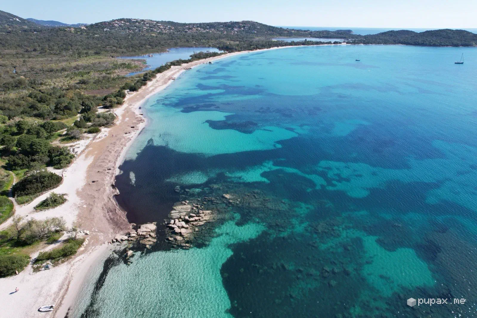
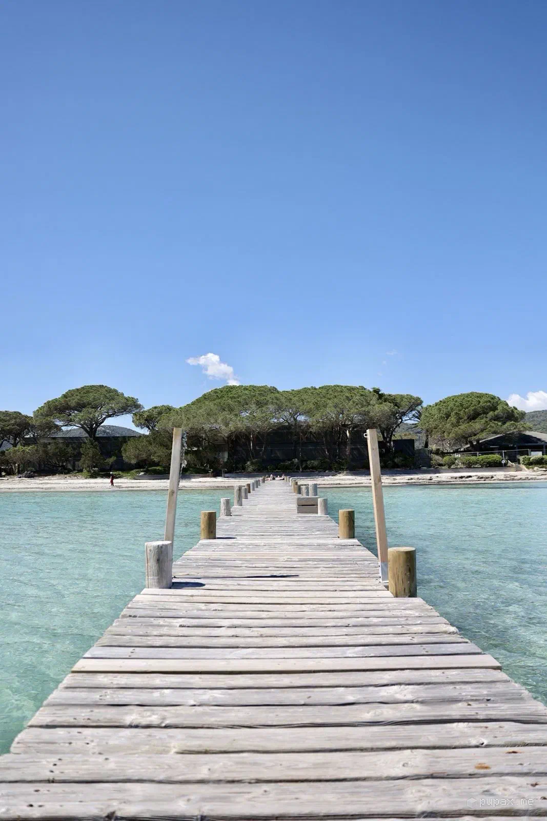
- Porto-VecchioLong beaches and a jetty over turquoise water
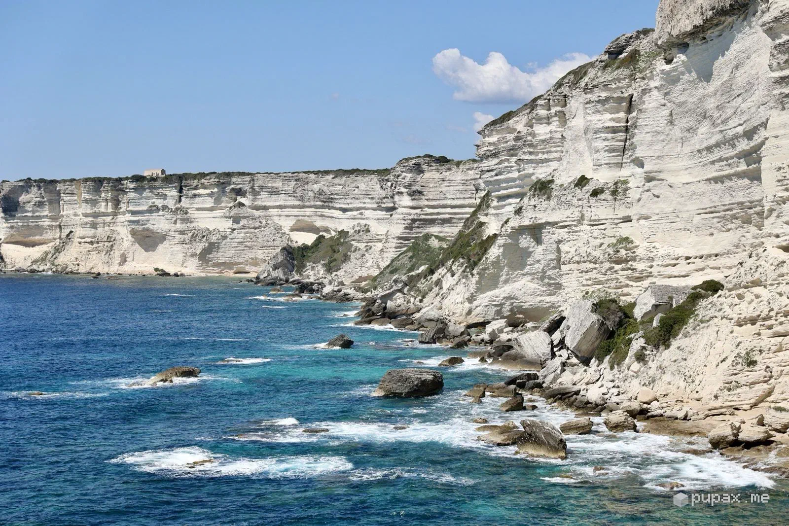
- BonifacioWhite cliffs and houses on the edge
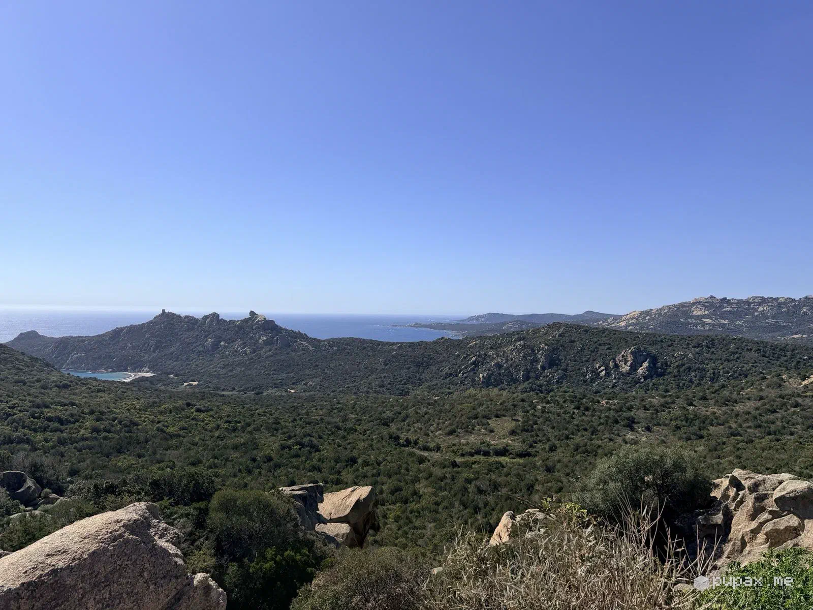
- Towards SartèneScrubland all the way to the sea
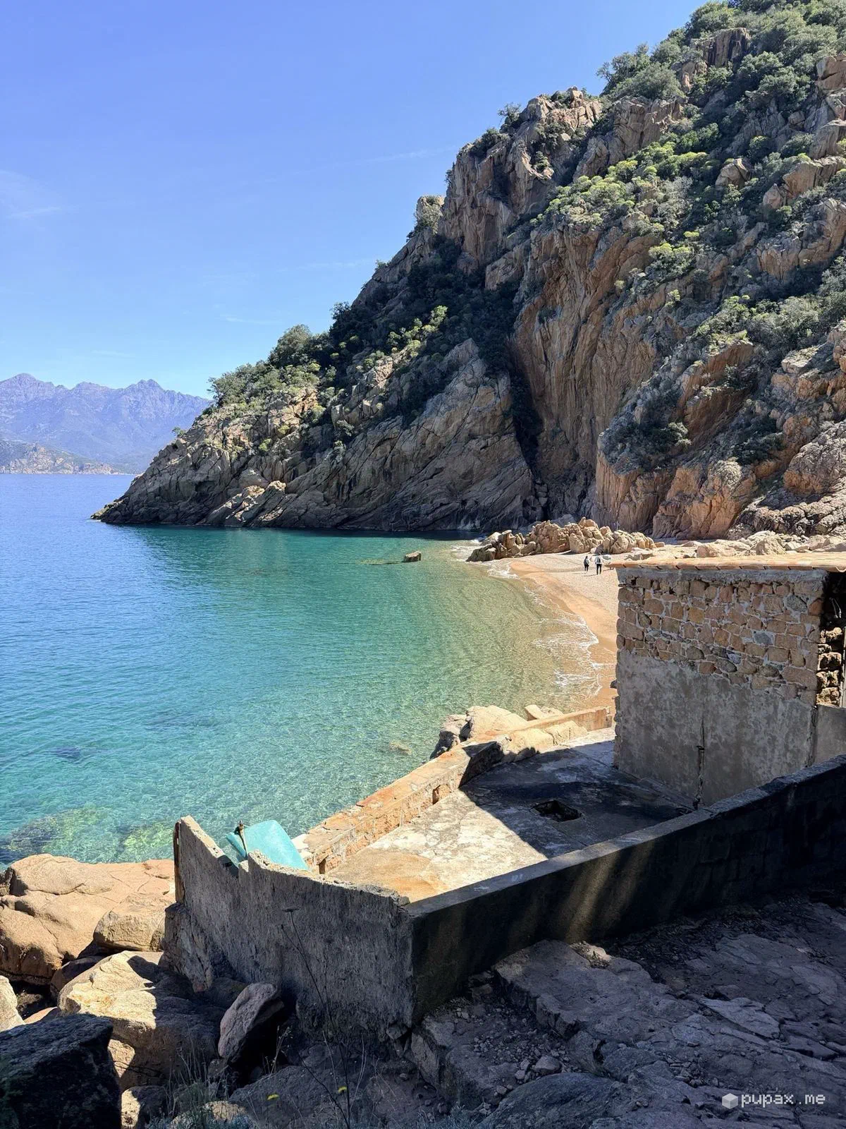
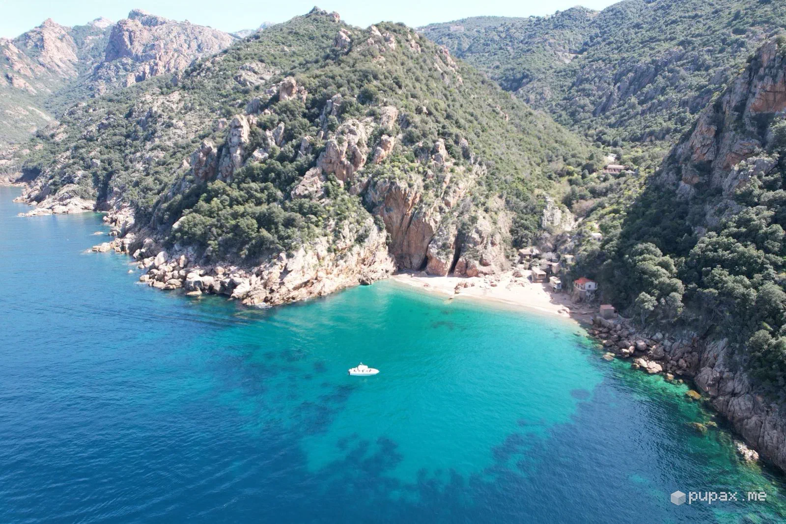
- Piana and the Gulf of PortoAnse de Ficajola and the red Calanques
- Cap CorseNonza, stone villages and hairpins
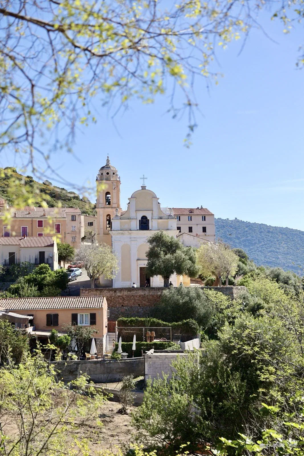
April 2026, four days in Corsica with Francesco Lietti. No plane this time: we arrived by ferry, without a car, and hired one directly on the island. The plan was to drive round the whole island, and we did: first inland, with the mountains towards Corte still under snow, then down to the south and all the way up to Cap Corse, stopping wherever the road suggested.

The south
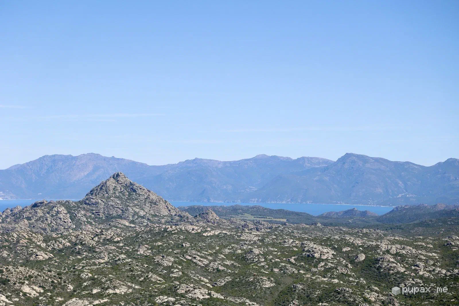
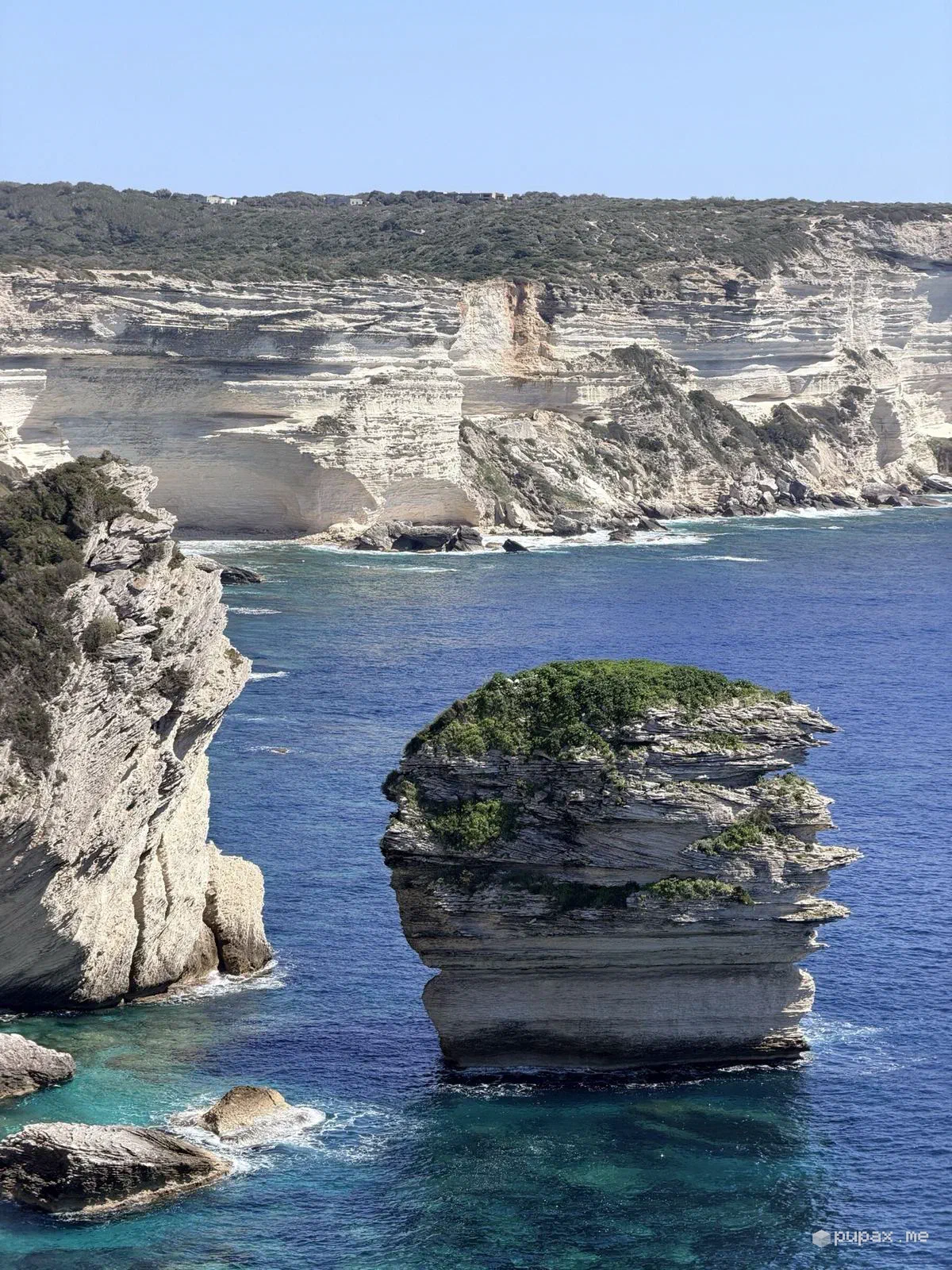
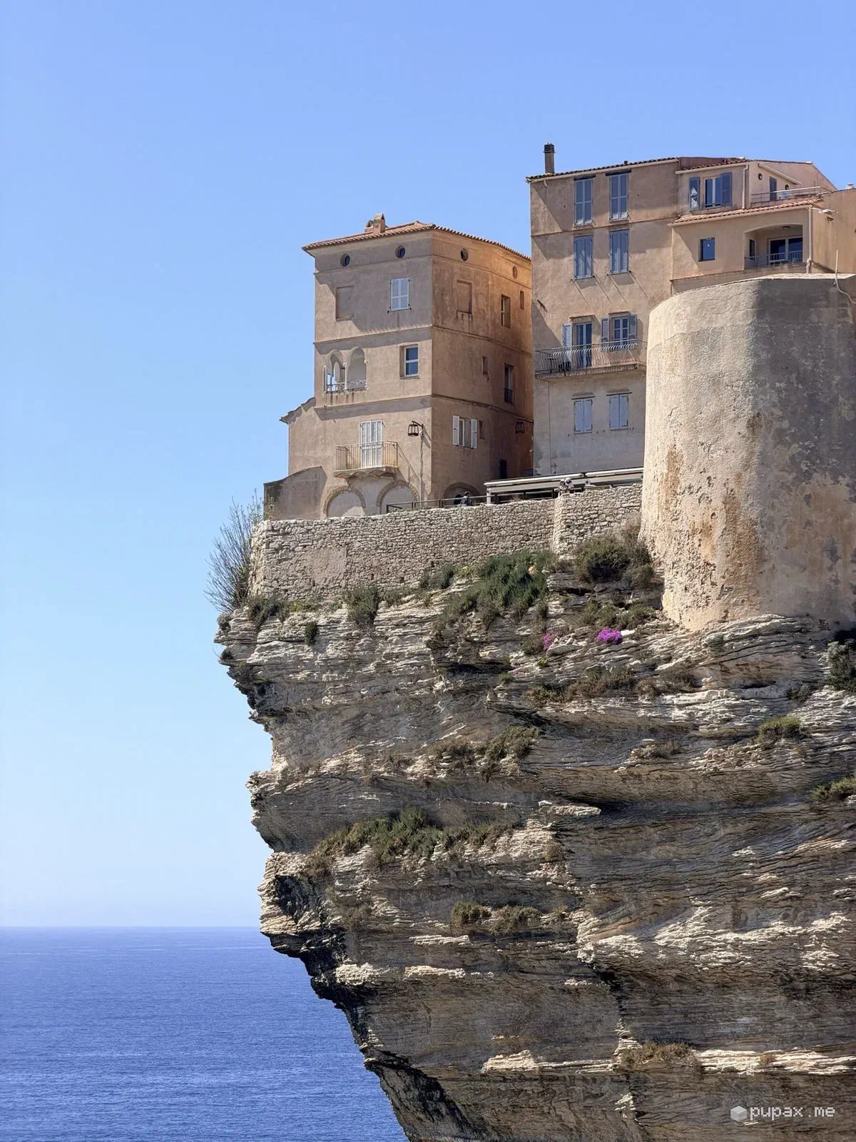
The south was all about the sea. The long beaches north of Porto-Vecchio, a wooden jetty running out into clear turquoise water, and then Bonifacio: white layered limestone cliffs, houses teetering on the edge and the Grain de Sable rock below. In the afternoon, towards Sartène, the coast changes into scrubland stretching to the horizon.
The west coast
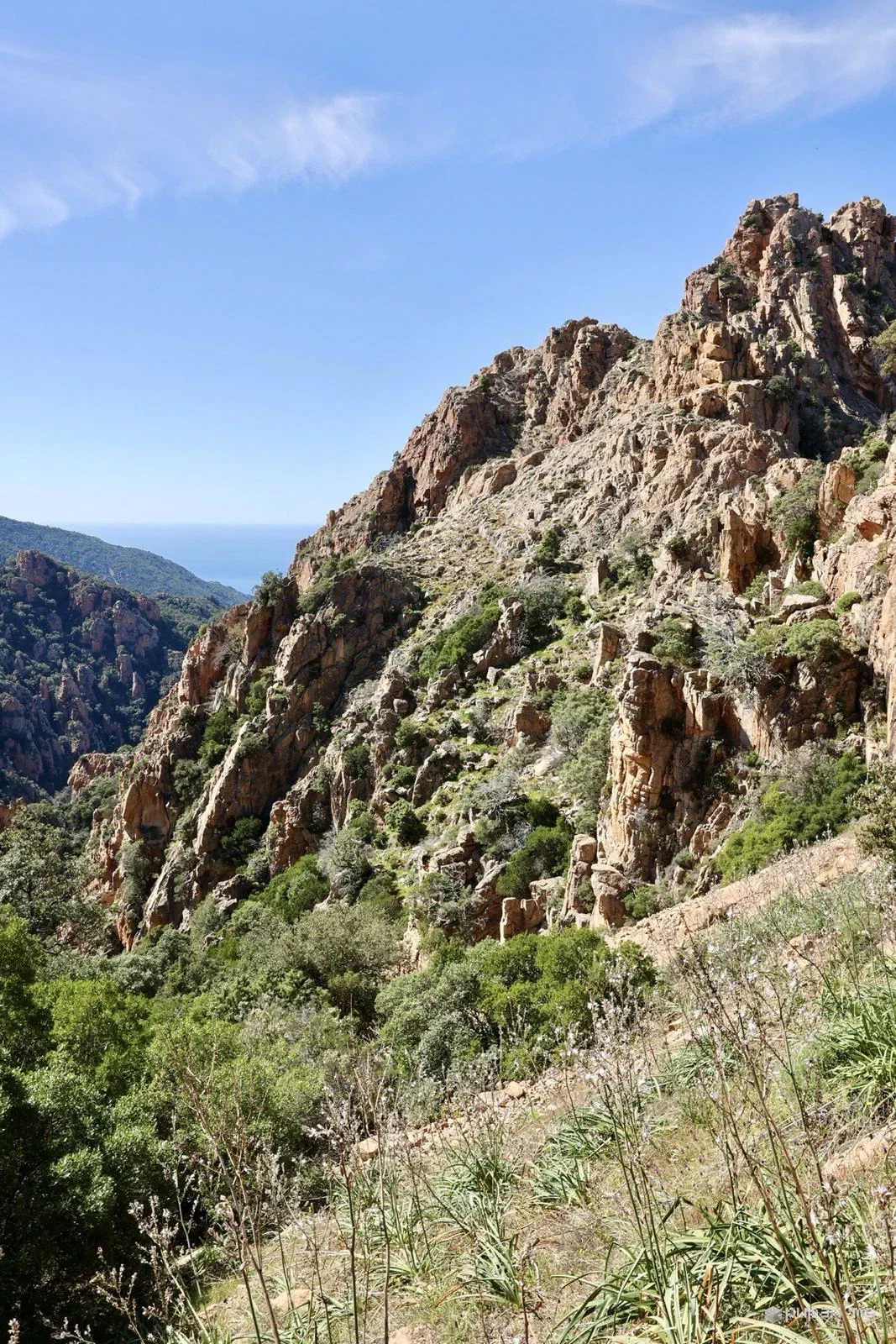
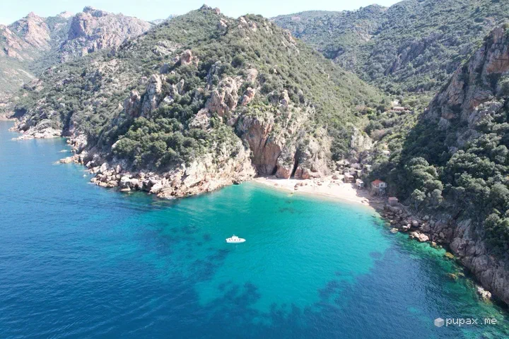
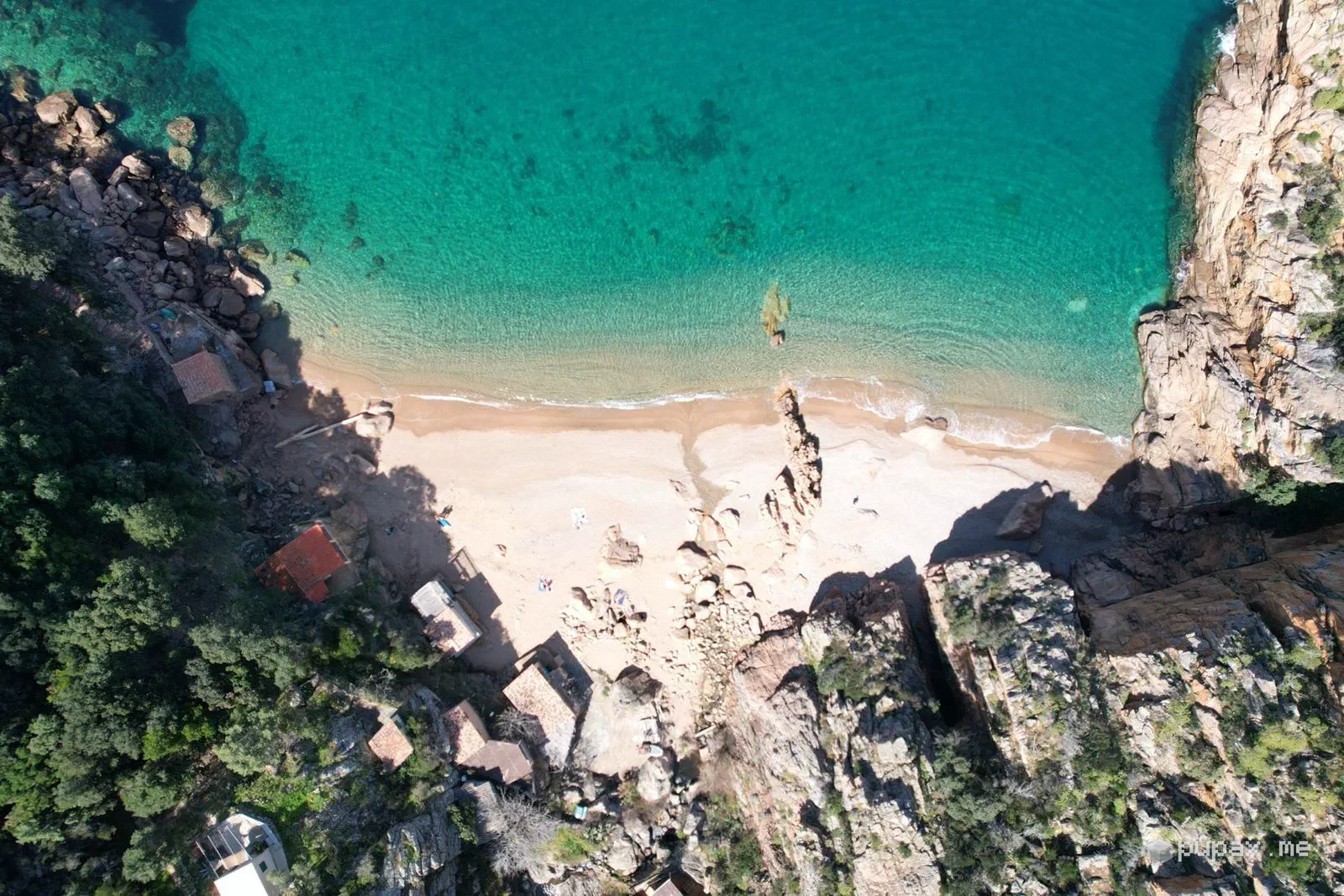
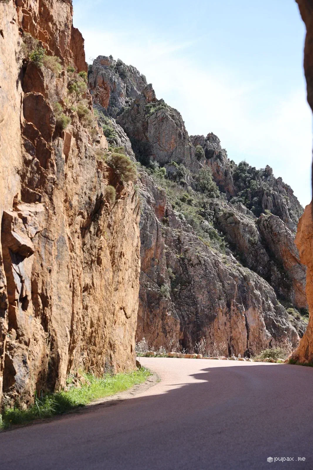
The next day we moved over to the west coast, and the colours changed: at Piana, on the Gulf of Porto, the coves sit among red granite rocks, with the Anse de Ficajola seen from the drone and a white boat at anchor. Behind the sea, a mountain still covered in snow: in early April that happens too. The road through the Calanques squeezes between walls of red rock, and driving it is half the fun.
The north
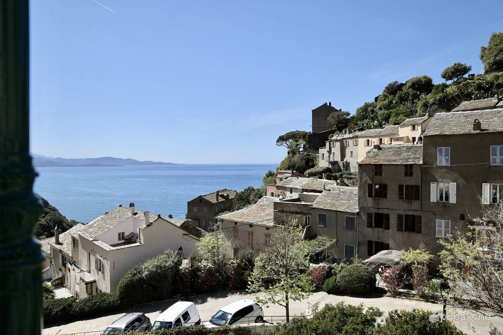
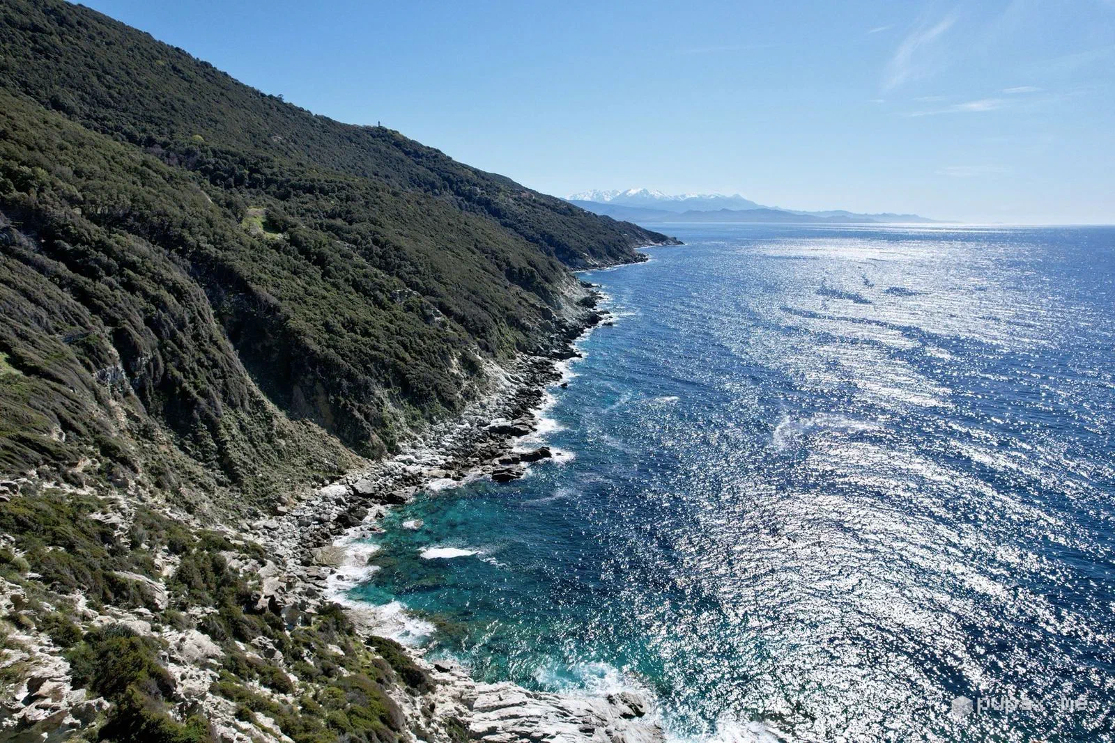
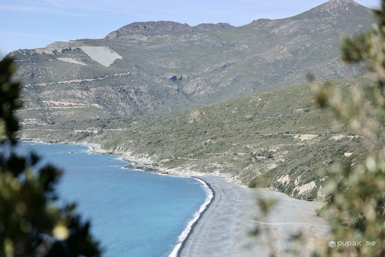
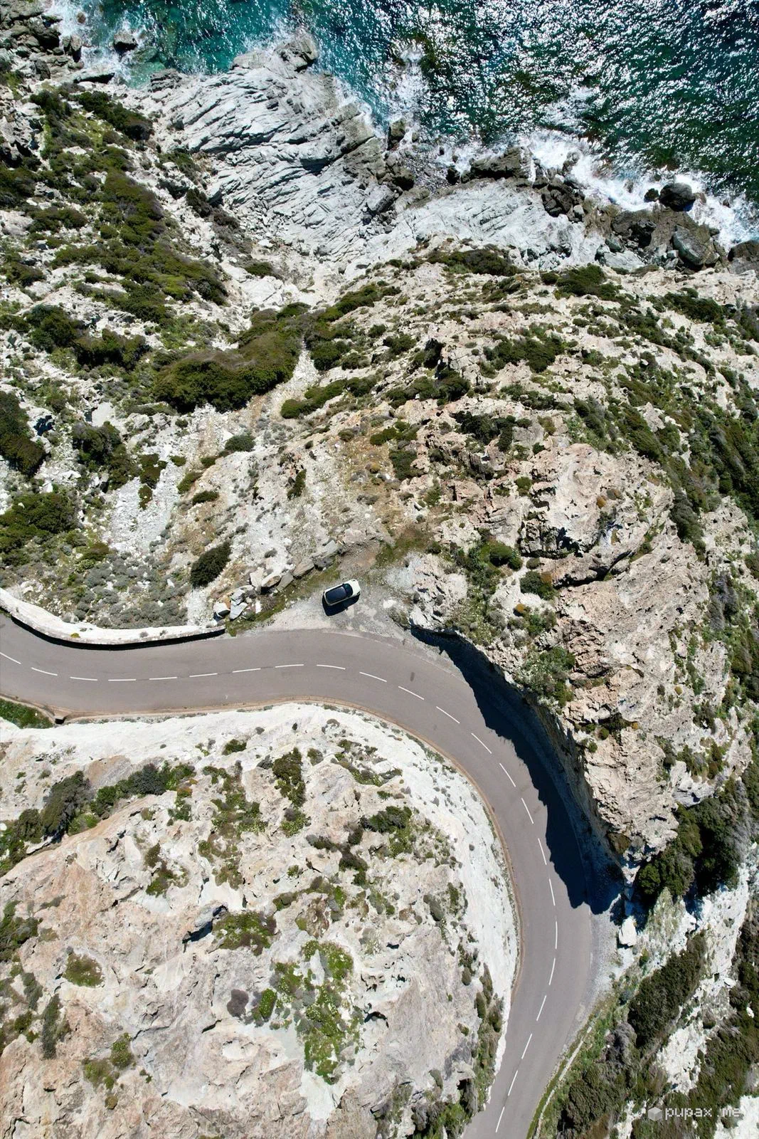
On the last day we drove up to Cap Corse: the dark pebble beach of Nonza seen from above, stone villages with slate roofs looking out over the water, and a panoramic road hanging above the coast, its hairpins looking hand-drawn from the drone.
I told this trip in my stories without a single caption: just photos, videos and music. Sometimes that’s enough.
Practical notes
- You can arrive by ferry without a car and hire one on the island: that’s what we did.
- In early April the mountains are still snowy, even when it’s pleasant by the sea.
- The coast roads are narrow and winding: allow more time than the map suggests.